Creation of Interface points
Created geological sections correspond with our ideas about the geology of the location - they are ideal input for the creation of a 3D subsoil model. It is possible to assign each line to interfaces of the future 3D model. The assignment is carried out in the dialog window for line input - we can select an interface from the list or create a new interface using the "Add interface" button. The points of lines with the assigned interface (highlighted in orange in the table) are transferred into the Interface data automatically. A special type is a modeling of soil lenses or geological faults.
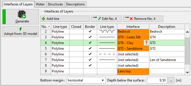
Assigned interfaces are visible in the table.
 Assigned interfaces in orange
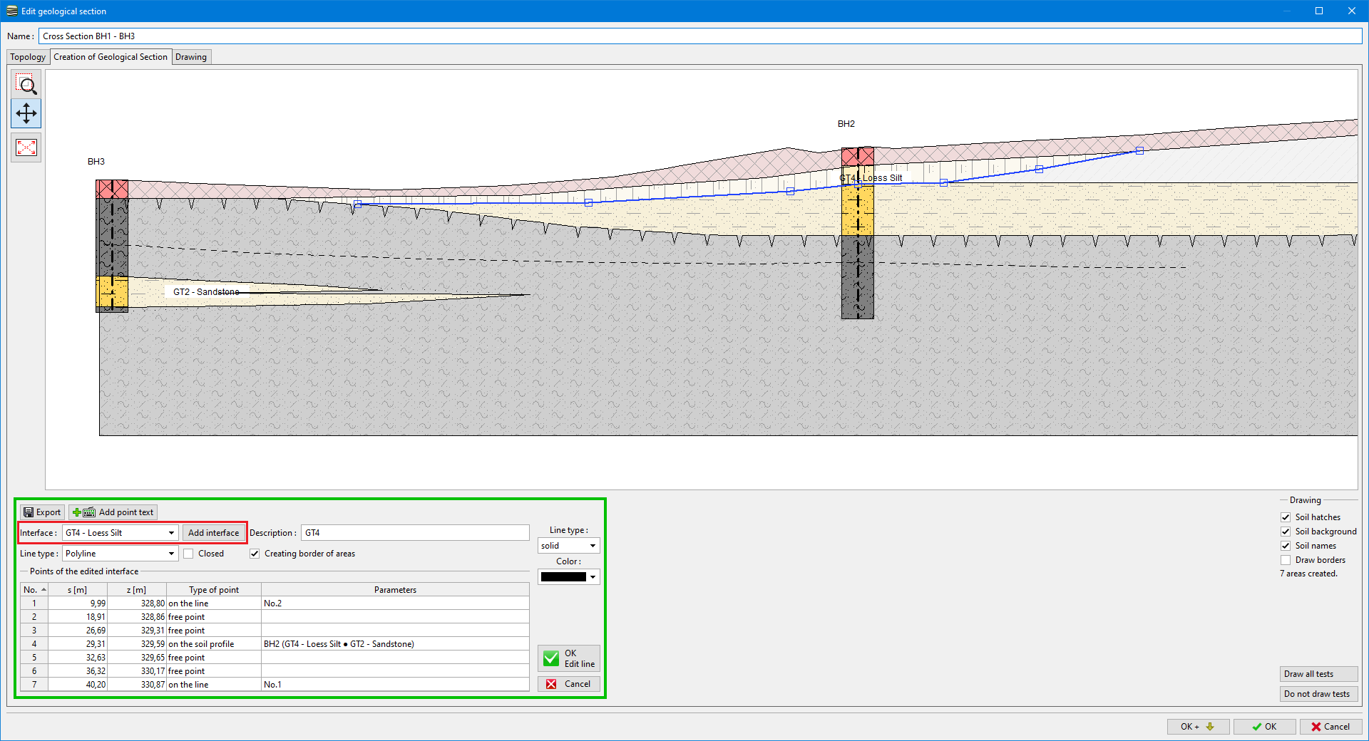
The interface can be assigned when a line is edited (or added). In the picture, we can see the assigned interface "GT4 - Loess Silt" - it is recommended to use name according to the soil (or geotechnical type) above it or combination of layers which divides (e.g. GT1-Silt/GT2-Clay).
 Assignment of interface when the line is added
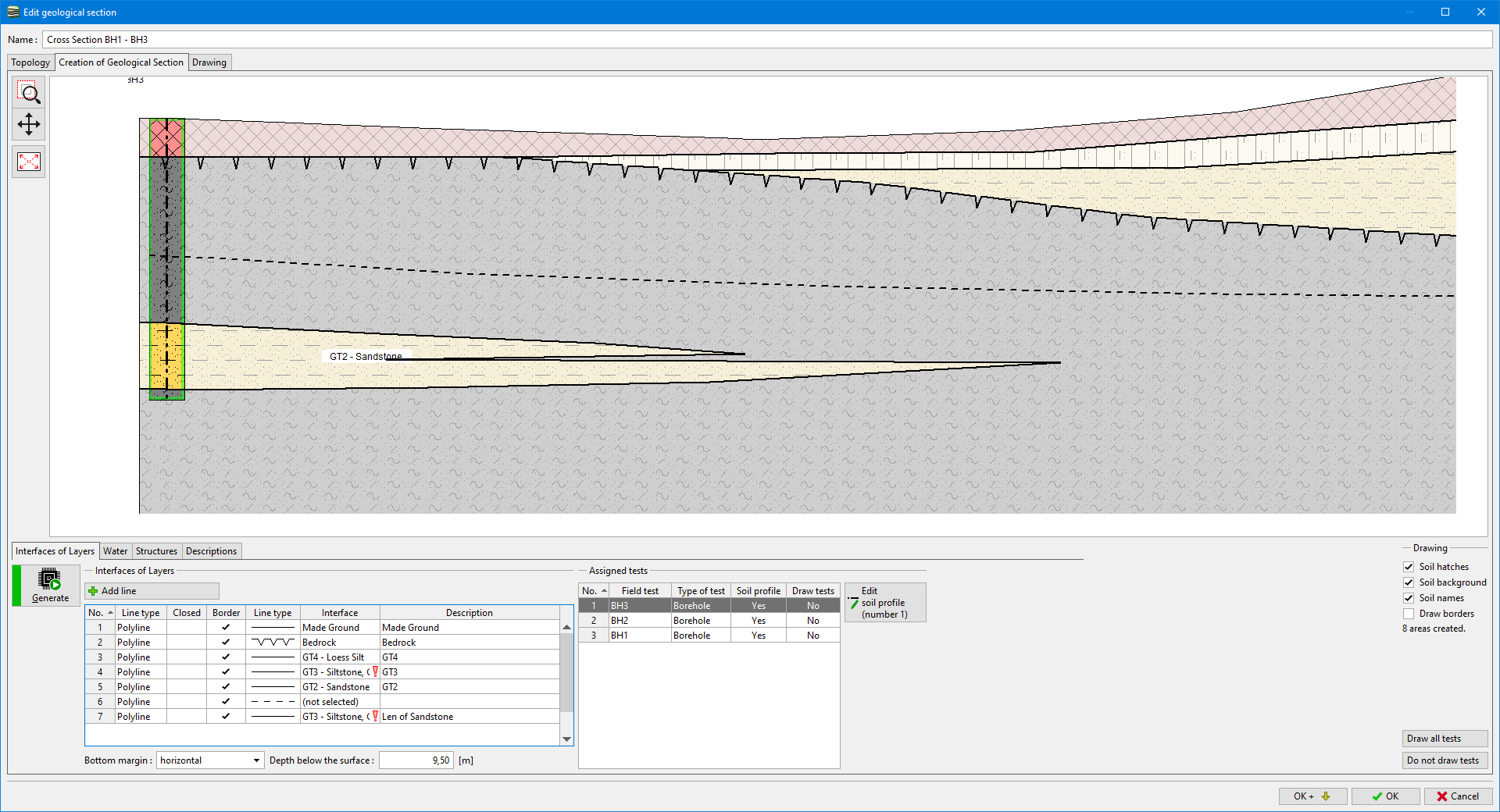
Some lines can be defined that their points lie above each other - e.g. soil lenses. If we create an interface from this line, the model could not be generated correctly. The program warns about it using a red exclamation mark in the list of lines (on the line of an interface).
 Warning about wrong input of interface