Data Transfer from the "Point Cloud" program
For obtaining orthophotomaps, terrain points, or a polygon of the construction site and project data, the "Point Cloud" program can be used (if purchased).
Data from the Point Cloud program are transferred using the Clipboard or FineClipboard™.
Transfer of all data using the clipboard.
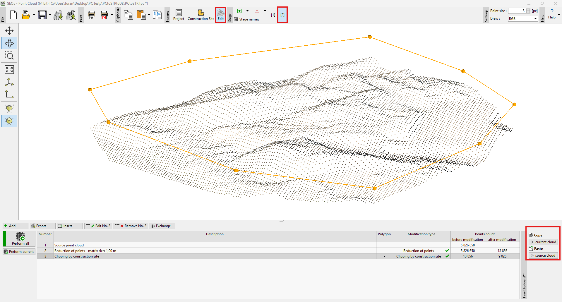
1) In the Point Cloud program, select Copy to Clipboard:
 Copy to Clipboard – Point Cloud program
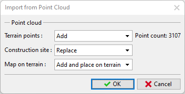
2) In the Stratigraphy program, perform Paste — point clouds can only be pasted into a new task. After selecting Paste from Clipboard, a dialog box will appear where you can choose the data to be inserted:
 Paste into a new task and select data — Stratigraphy program
If the Point Cloud program contained multiple construction stages, the point clouds from individual stages are also transferred into stages in the Stratigraphy program (stage 1 -> Model, stage 2 -> 1st construction stage, etc.). Construction stages in Stratigraphy are available only to users who have purchased the Earthworks module.
When transferring all data via the clipboard, the point cloud corresponding to the latest modification is always transferred for each stage.
The Map on terrain is based on an RGB view of individual points and is saved to the source maps.
Transfer of individual point clouds using FineClipboard™.
1) In the Point Cloud program, select the point cloud you want to copy at any stage (in the Modifications mode).
 Copy of an individual point cloud
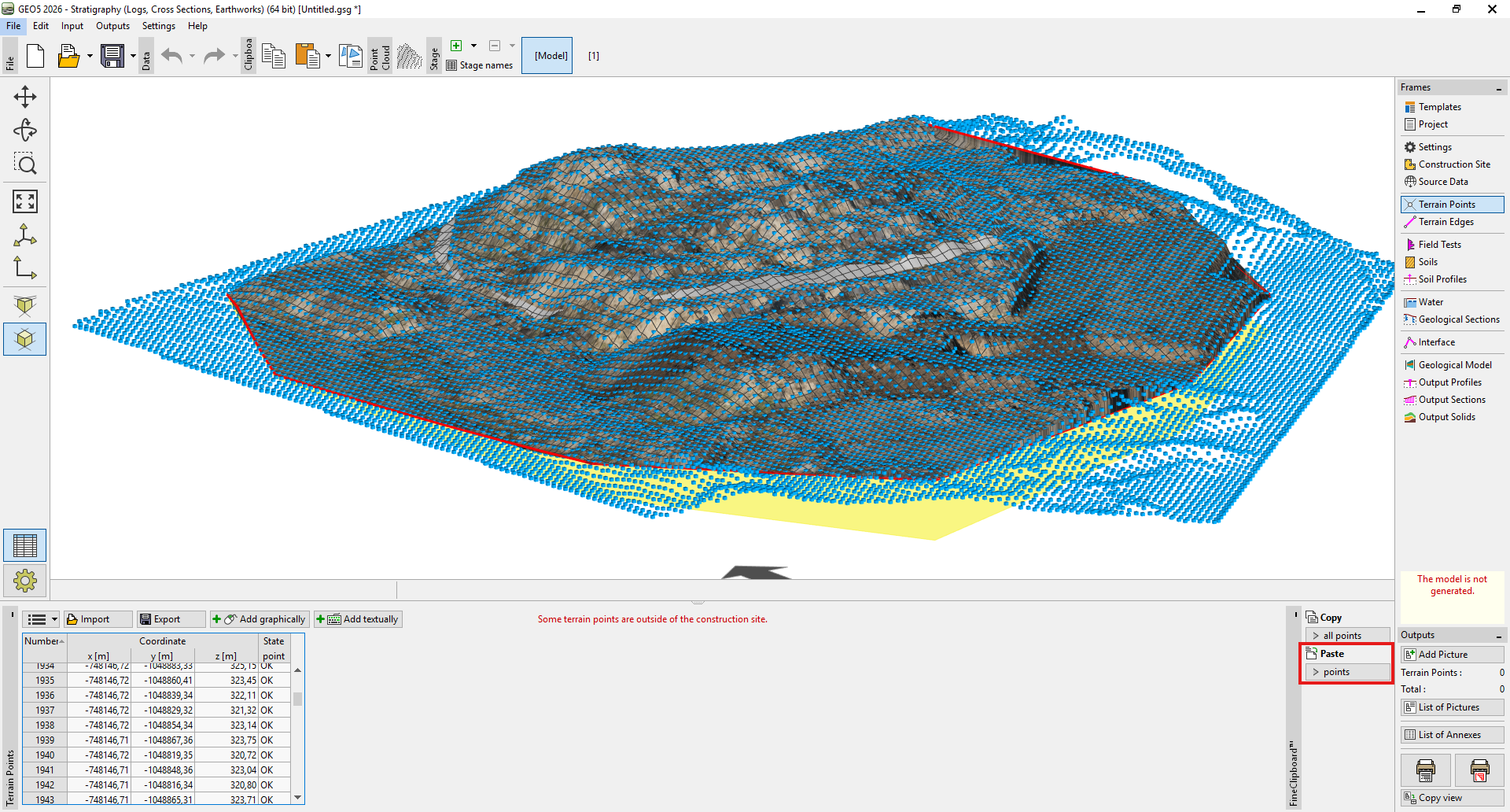
2) In the Stratigraphy program, paste the point cloud in the Terrain Points frame — either in the model or within the construction stages, allowing you to simulate gradual earthworks.
 Inserting points into the Stratigraphy program