Geological Sections
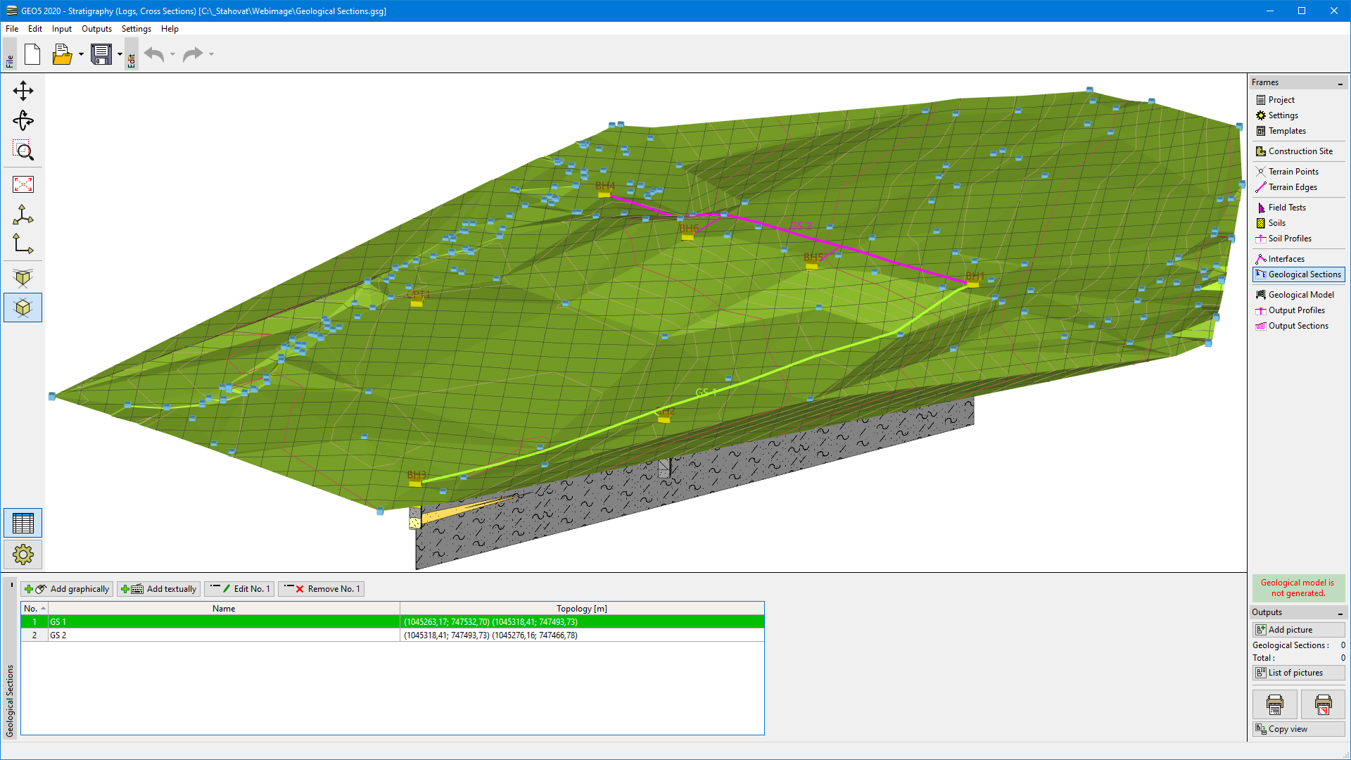
The "Geological Sections" frame allows us to create geological cross-sections (fences) with Field Tests and Soil Profiles displayed. Next, the geological interfaces between soil layers, faults, the tables of ground water, the structures, and other user descriptions are entered here. The points from defined interfaces can be copied to the "Interface" frame, where it affects the overall geological model.
We can also create geological sections from the generated geological model and use them for further modelmodifications.
First, it is necessary to define the required cross-section - straight or polygon. Points of geological sections can be defined within the construction site - if there is any point out of the construction site, the geological section is cut automatically. After input, the dialog window is opened in the "Topology" mode.
 "Geological Sections" Frame
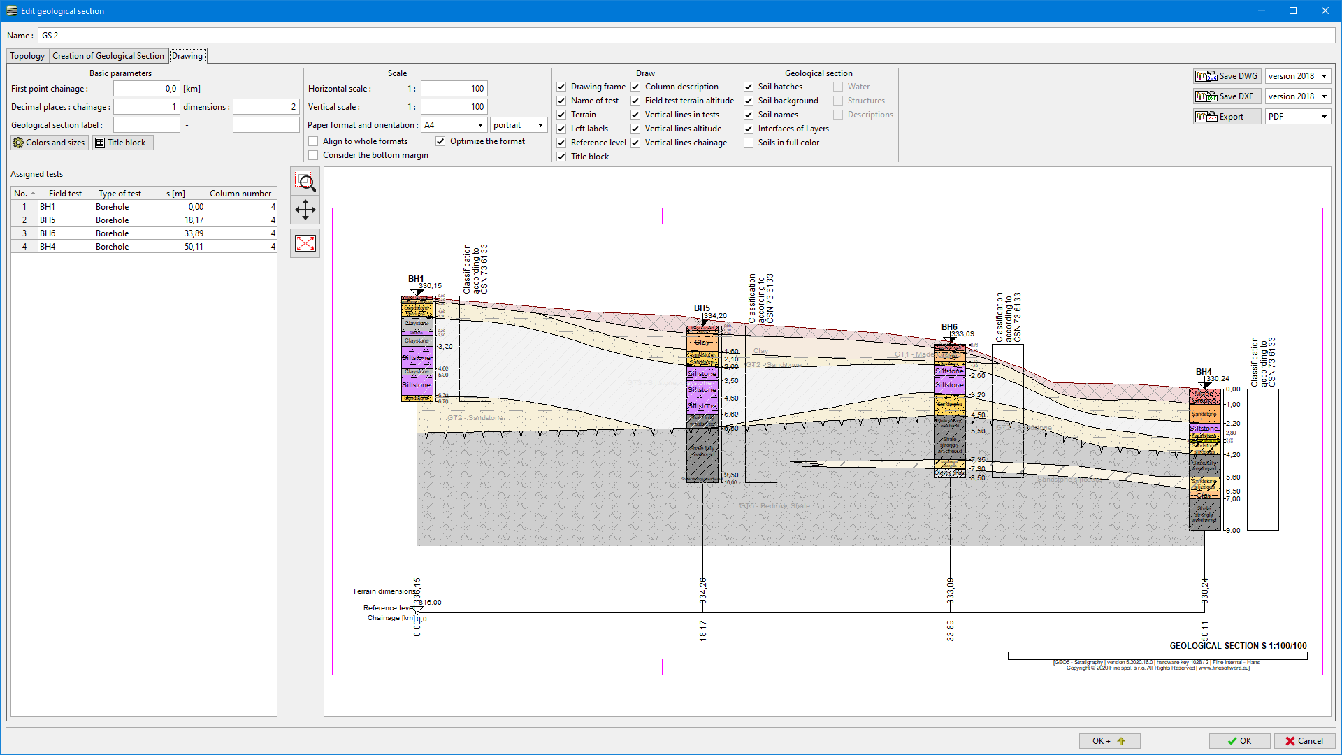
The geological section is defined and edited in a dialog window with several tabs.
The aim of geological section creation is to create and publish geological cross-section, define geotechnical types of soils, edit soil profiles, and generate interfaces for easy creation of a 3D model.
The "Drawing" tab is available only to users with purchased the "Cross Sections" module.
 Drawing of Geological Section