Water
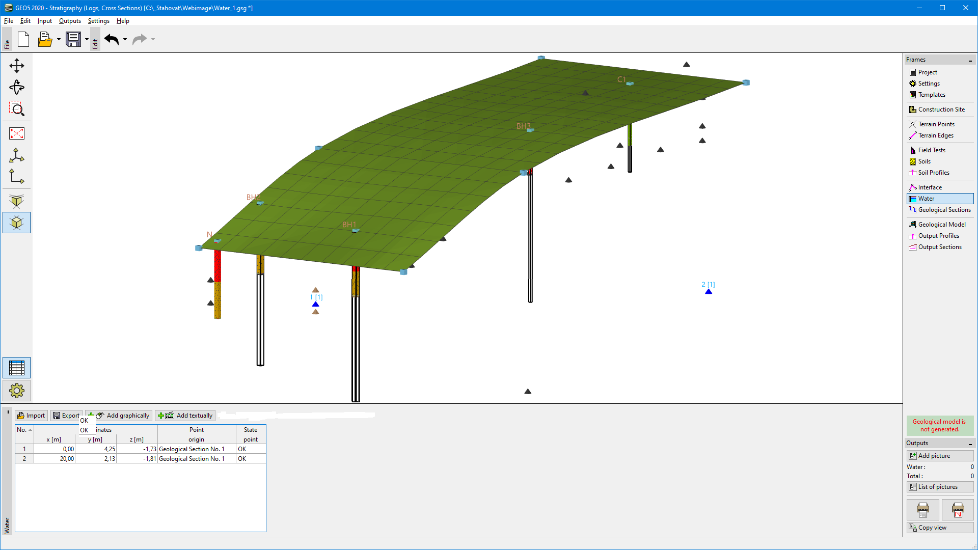
The "Water" frame contains a table with a list of defined interface points.
The groundwater table is generated from GWT in active boreholes and GWT interface points from this frame.
 "Water" frame
Interface points can be defined in several ways:
- Text input of points coordinates
- Import (text table, XLSX and ODS table, DXF, LandXML). Point coordinates can be converted from another coordinate system or GPS before importing.
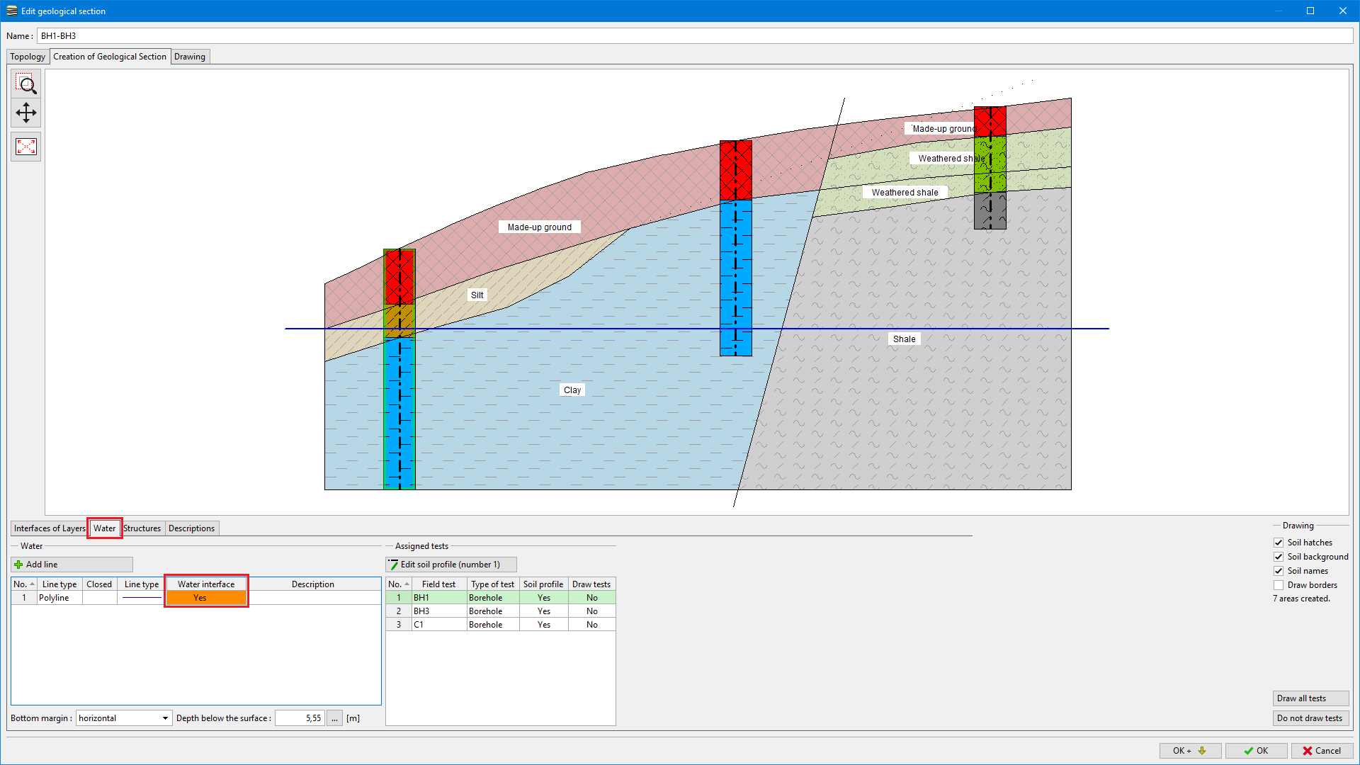
- Automatic generation of the interface from Geological Sections
 Generation of GWT points in the geological section
Horizontal GWT can be defined just by entering one point with the required depth.